Products
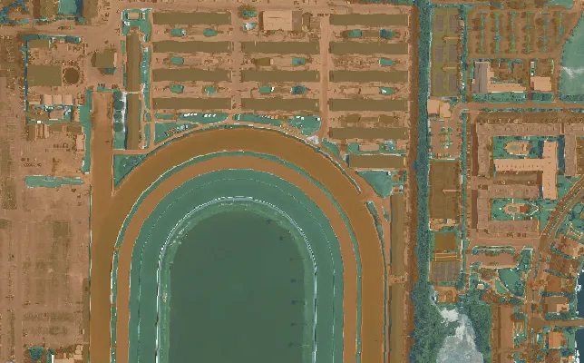
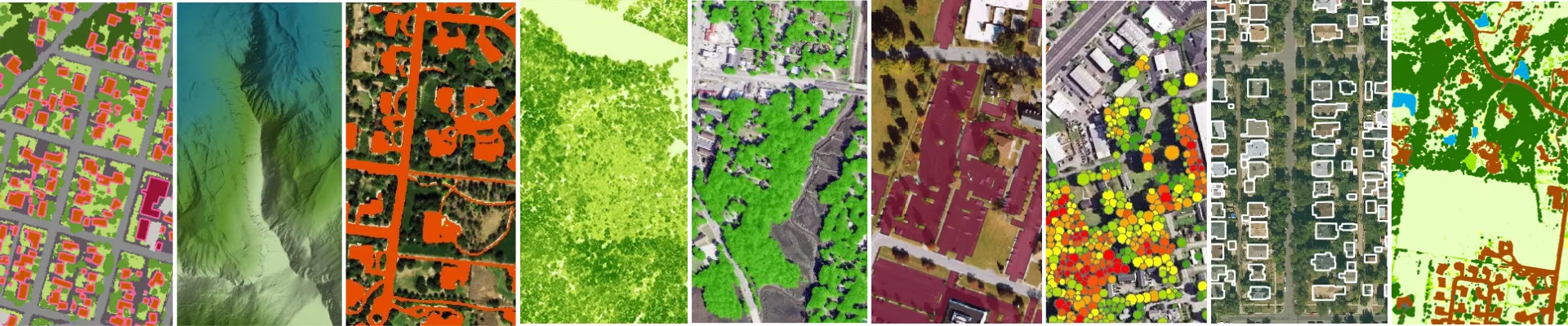
High-resolution mapping data across the land surface, the built environment, and vegetation, derived from imagery and LiDAR and available nationwide.
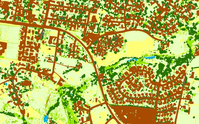
Land cover classes, DEM/DSM, Clutter
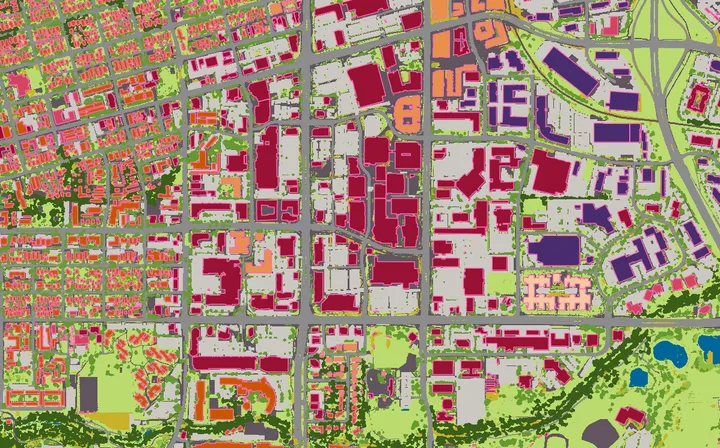
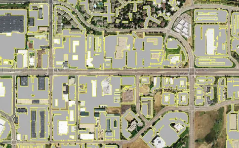
Buildings, roads, parking, and impervious surfaces
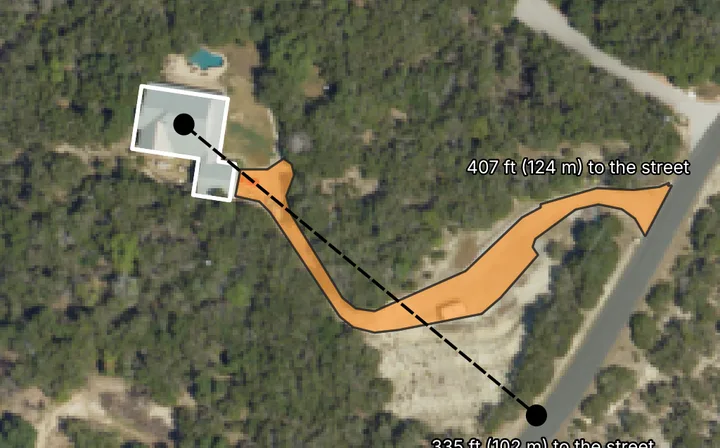
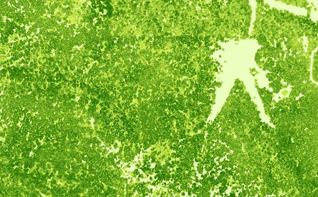
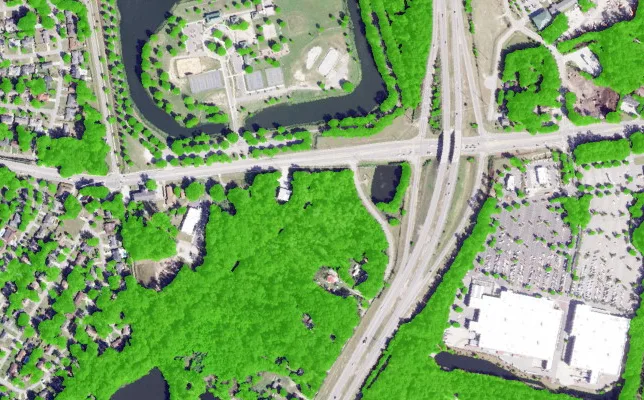
Canopy cover, individual trees, canopy heights across the US
Tell our data experts what you're mapping and we'll point you to the right products, or set you up with free samples to evaluate.